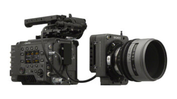
Measurement technology company Hexagon has unveiled MANTIS by Leica Geosystems, a camera-mounted 3D capture and tracking system that records spatial information during filming.
The system captures scene geometry and camera movement together to create a spatial record aligned with the footage for use in visual effects workflows.
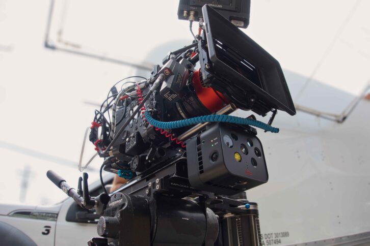
MANTIS and MANTIS Studio capture and turn the data recorded on set into LiDAR-corrected depth maps, position data, point clouds, and camera tracks aligned with the footage, said the company.
The outputs can be incorporated into established VFX workflows, using standard formats including EXR, FBX, and Alembic.
“We’ve been working with the film industry for many years to help capture set data for better post-production flows,” said Burkhard Boeckem, chief technology officer, Hexagon. “The instruments we had available could capture a full scan of the scene, but there is always room to do more.
“Almost every production today passes through tools that work in three dimensions, so we asked ourselves, why not include perfectly synced spatial data alongside the image? Using our expertise in measurement technology and spatial intelligence, we developed MANTIS to do just that.”