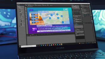
Vizrt has upgraded its map and geographical animations software Viz World to provide integration with OpenStreetMap, the open source for geographic information. With it, broadcasters using Viz World can access OSM community data, including vector street data for most of the world. The OSM project is accessible at www.openstreetmaps.org. It provides a free, editable map of the world through the efforts of a large number of contributors. For Vizrt applications the OSM data is converted to shape files by Geofabrik, then optimised for Vizrt’s render engine. A downloader interface allows broadcasters to pre-load the data for their region, or for any other part of the world of interest. This data is then searched by street, address, intersection or point of interest. To recognise that this massive resource is available only through the work of a large community of contributors, Vizrt requires users to caption all graphics and sequences generated from OSM data with the attribution OpenStreetMap. “OpenStreetMap has created an invaluable and high-quality geographic database,” said Petter Ole Jakobsen, CTO of Vizrt. “We hope this attribution gives the community the recognition it deserves, while serving our customers the highest quality maps to they can accurately report on world events.”


